Gallery
-
-
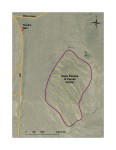
Location of Geological Road Sign for the Giant Ripples of Camas Prairie
-

-
Image of the Giant Ripples of Camas Prairie from the location of the road sign
-
-
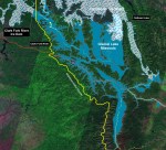
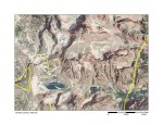
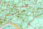
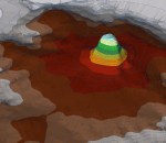
Pleistocene Glacial Lake Missoula
-
-
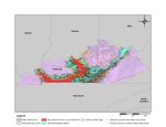
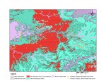
Spatial Analysis of Kentucky Quarries and Karst Terrain
-
-
Spatial Analysis of Kentucky Quarries and Karst Terrain
-
-
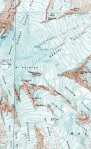
Topographic Map and Image of the Grand Tetons
-
-
Census Data as displayed in the GIS for Fairfield County, Connecticut
-
-
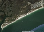
Image of Sunset Beach, North Carolina
-
-
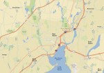
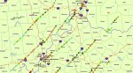
Map of New Haven, Connecticut and the surrounding area in the GIS
-
-
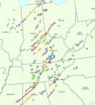
Tornado tracks from the Tornado Outbreak of April 3rd and 4th, 1974
-
-
Tri-State Tornado tracks from the Tornado Outbreak of April 3rd and 4th, 1974
-
-
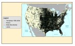
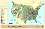
Distribution of Tornadoes in the U.S. from 1950-2004
-
-
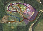
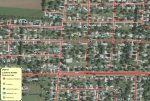
GIS map showing parcels and buildings
-
-
Business locations in the Cincinnati area
-
-
Business locations and types in Fairfield, Ohio
-
-
Accident incidents in a residential area
-

-
GIS can even be used to make maps of Mars. Boulder tracks and other Martian features were mapped in the GIS
-
-
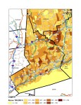
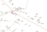
Fossil Locations According to Geologic Age by County
-

-
Last known location of Flying Tiger Line Flight 739, which was lost in 1962 on its way to Saigon, Vietnam
-
-
Digital Elevation Model of Devil’s Tower, Wyoming
-
-
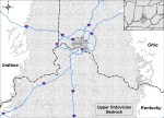
Ordovician Bedrock in the Cincinnati area of Ohio
-
-
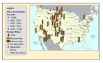
Data analysis of Pleistocene “Black Mats,” Mammoth finds, and Clovis finds
-
-
Topographic map of Mt. Rainier, Washington. Digital Raster Graphic
